Moving for the outdoors
Last checked
As of 2024, the federal government owned about 640 million acres, roughly 28% of the country. In the 11 Western states of the lower 48 it’s nearly half the land, and in Alaska more than half. In the other 38 states, it’s about 4%. If the outdoors is why you’re moving, that one fact shapes where to look.
Here is one way to narrow it down, and what the beauty can cost.
Step 1: Nature you can walk to
A trailhead an hour away is a weekend trip. One you can walk to is part of every day. The natural spaces layer shows everywhere within about a six-minute walk of a park, forest, lake, shoreline or other open land. Military and other restricted federal land doesn’t count, because you can’t walk into it.
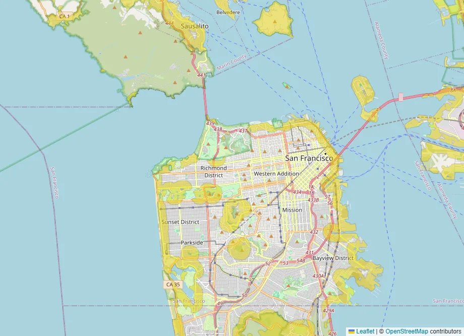
In San Francisco that’s a narrow band along the ocean and around the big parks, as the picture shows. If you want nature to be a daily thing rather than a drive, that band is where to look.
Step 2: The price of living near the wild
The places that feel closest to nature are often the ones most exposed to fire. About 44 million American homes sat in the wildland-urban interface in 2020, where houses meet wild vegetation. That’s from a 2023 study in Science by Forest Service and university researchers. About 2.6 million of those homes arrived in the 2010s.
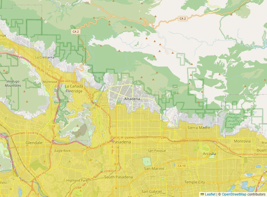
The wildfire layer shows where the risk to a home is elevated. Our guide to why wildfire maps disagree explains what it can and can’t see. Get an insurance quote early. In fire country, it can decide the budget.
Step 3: Smoke travels farther than fire
You don’t have to live near a fire to breathe it. A 2023 study in Nature found that since about 2016, wildfire smoke has shaped fine-particle pollution in about three-quarters of the lower 48 states. In those states it undid roughly a quarter of earlier air-quality gains, and more than half in many Western states.
The air quality layer shows the share of days with good air, county by county. Counties without a monitor are included. Rural counties tend to have cleaner air, but no measurements are available. Smoke comes in seasons, so a county’s yearly share can hide a few very bad weeks.
Step 4: Seasons you’ll actually enjoy
Skiers want snow. Hikers in the desert want a mild winter. The snowfall layer lets you set the range you’re after, from no snow to a lot.
Step 5: The things you’ll still need
Remote and beautiful usually means far from hospitals and big airports. Our guide to choosing where to retire covers the hospital layer. Our guide to where to live when you work from home covers internet and airports, which matter more the farther out you go.
Buying land rather than a house is its own project. Our guide to researching raw land covers water, septic, access and the rest.
Before you commit
- Visit in the worst month: fire season, mud season, or the depth of winter.
- Get a homeowners insurance quote for the exact address.
- Count the roads out, and ask how the area was evacuated last time.
- Check whether the trails you love are open year-round, and how crowded they get.
Your starting map
This map opens with nature nearby, lower wildfire risk and cleaner air switched on together. Swap in snowfall if winter matters more to you. Free accounts can run three layers at a time.