Checking a home for environmental hazards
Last checked
The EPA’s Superfund priority list holds more than 1,300 sites. That’s the short list. The agency estimates 450,000 to a million brownfields, and more than 50,000 leaking fuel tanks still waiting for cleanup. Most homes are nowhere near any of them. A map can tell you whether yours is. A few tests cover what a map can’t.
Is the home near a contaminated site?
The soil contamination layer leaves out areas near sites the EPA tracks. That includes Superfund sites, brownfields, leaking underground storage tanks, hazardous waste facilities and plants that report toxic releases. The buffer around each one depends on how serious the site is.
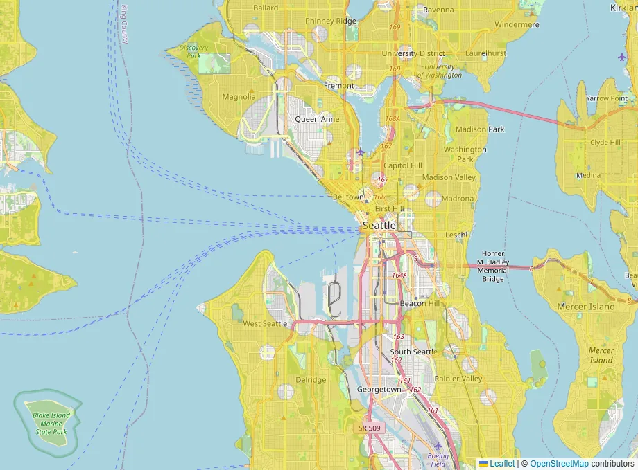
Being outside every buffer doesn’t prove the ground is clean. It means no tracked site is close. The yard of an older house can still hold lead from paint and traffic, whatever the map shows.
What’s in the tap water?
If the home is on a public water system, the utility must send customers a water quality report every year by July 1. Ask the seller for the latest one, or find it on the utility’s website. It lists what was found and whether any limit was broken.
The water quality layer leaves out areas near polluted rivers and lakes or Superfund sites. It also leaves out areas served by a water system with an active health violation. Waters that states have not assessed are included. They are not on EPA’s impaired-waters list, but no measurements are available.
A private well is different. The federal Safe Drinking Water Act doesn’t cover private wells, so the owner is responsible for testing. Test before you buy.
Are there lead pipes?
The EPA estimates about 4 million lead service lines still carry water to homes in the U.S. A 2024 federal rule, now being challenged in court, requires water systems to replace them within 10 years, with most requirements starting in November 2027. Many utilities already publish maps or lookup tools showing which addresses have lead lines. Check the address, and ask a plumber to look at where the line enters the house.
What about radon?
Radon is an invisible gas from the ground. The EPA recommends testing every home below the third floor, and estimates nearly 1 in 15 homes has a level worth fixing. The radon layer shows ZIP codes where the average home test is low. An area average can’t clear a particular house, so add a radon test to the inspection.
And lead paint?
For most homes built before 1978, sellers must disclose lead paint they know about. Buyers get 10 days to have the home tested, unless the contract says otherwise. Our guide to researching a neighborhood covers the disclosures and public records worth pulling.
When is a formal environmental assessment worth it?
Commercial buyers often order a Phase I environmental site assessment, a records and site review done to an industry standard. For an ordinary house it’s rarely needed. For land with an industrial past, or a building that once held a gas station or dry cleaner, it can be money well spent.
A short checklist
- Check the soil contamination layer, then look up any nearby site on the EPA’s own pages.
- Get the latest water quality report, or test the well.
- Look up whether the address has a lead service line.
- Add radon to the inspection, and lead testing for an older home.
Your starting map
Open the map with soil contamination, water quality and radon already applied.