Moving with young kids
Last checked
With young children, a home search turns into five searches at once. Schools, safety, parks, quiet streets and a commute all pull in different directions, and no listing shows them side by side. The trick is to settle the ones you can check from a map first, so your weekends go to the few places that are left.
Schools: check the zone, not just the score
For most public schools, your address decides which one your child is assigned to. That makes the attendance zone part of the house.
Zones change, though. Districts redraw them as enrollment shifts, and a map online can be out of date. One Pennsylvania district puts it plainly on its own boundary map: call the assigned school to confirm before you buy or move. That advice holds anywhere.
Our elementary school layer shows where the nearby schools score well. Before trusting any rating, ours included, read why school ratings disagree. It explains why one site’s “9” can be another’s “C”.
Think past kindergarten
Elementary, middle and high school zones are drawn separately. A house can sit in a strong elementary zone and feed into a middle school you like much less. We have middle and high school layers too. If you plan to stay a while, check all three for the same address.
Safety: rates, not rumors
Crime is the question where bad data does the most damage. A neighborhood can look calm on a crime map simply because its police department didn’t report.
Our crime layer shows reported crime per resident, and leaves areas blank where the reporting is too incomplete to trust. To look up a specific address, use the free crime lookup. And why crime maps disagree explains what to make of the differences between sites.
A park within walking distance
Parks get used more when they’re easy to get to and designed for the people nearby. A review for the U.S. Community Preventive Services Task Force looked at new or improved parks and trails. Paired with programs or better access, they raised physical activity across all ages. On their own, new parks had less evidence behind them. A 2021 review of 31 studies on children found that how a park is designed shapes how much kids use it.
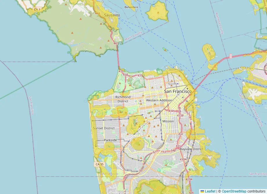
The natural spaces layer shows everywhere within about a six-minute walk of a park, forest, lake or other open land. It tells you a park is close, not whether it has a playground. Go and look.
Quiet streets
In 2024, 172 children aged 14 and under were killed while walking, according to the National Highway Traffic Safety Administration. An estimated 6,615 more were injured. Pedestrians were 17% of the 1,032 children killed in traffic that year, so most were in vehicles. Where you live decides which streets your child walks every day.
The quiet streets layer highlights neighborhoods where almost all the roads are residential, with little traffic cutting through. It won’t tell you how fast people drive, so walk the block at school pickup time before you decide.
The commute, plus the school run
School drop-off and pickup add trips to the working day, often at the busiest hours. If a parent commutes, the commute filter, part of BelongMaps Premium, draws everywhere within your chosen travel time of work. For how much to trust any travel-time estimate, see why commute time estimates disagree.
What to check in person
- Call the assigned school to confirm the zone for that exact address.
- Check the middle and high school zones for the same address.
- Visit the nearest playground on a weekend morning.
- Walk to the school or bus stop at the time your child would.
- Ask about childcare waitlists early. No map shows those.
Your starting map
This map opens with schools, crime and parks switched on together. What’s left in yellow is where all three line up. Adjust each one to your own limits.