How to read a FEMA flood map
Last checked
FEMA’s flood maps decide whether your lender requires flood insurance, and they shape what that insurance costs. They’re free to look up, but the zone codes are cryptic. Here’s how to find the map for an address and what each code means.
Finding the map
Go to FEMA’s Flood Map Service Center and search the address. You can download a FIRMette, a printable official piece of the map around the address.
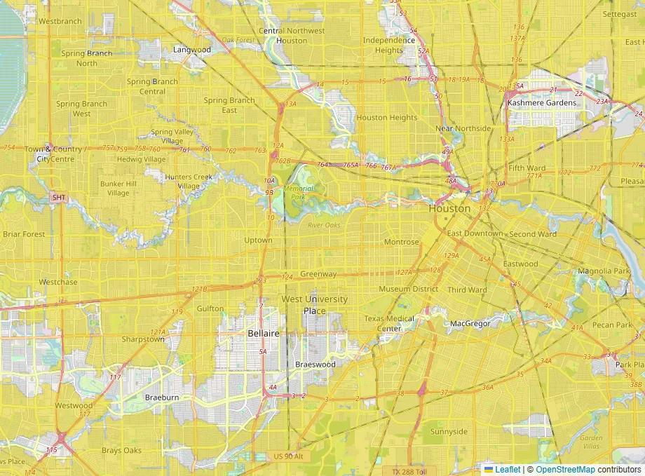
The flood layer on our map leaves out FEMA’s high-risk zones. The gaps in the yellow are the A and V zones, across a whole city at once. Shaded X stays in.
What the zone letters mean
| Zone | What it means |
|---|---|
| A, AE, AH, AO | High risk: a 1% chance of flooding in any year |
| V, VE | High risk on the coast, with storm waves |
| X (shaded) | Moderate risk: a 0.2% chance a year, or shallow 1% flooding |
| X (unshaded) | Outside the mapped floodplain |
| D | Possible risk, not yet studied |
A 1% chance a year sounds small. FEMA puts it another way: about a 26% chance of flooding over a 30-year mortgage.
The number that matters: base flood elevation
AE and VE zones show a base flood elevation. That’s the height the water is expected to reach in a flood with a 1% chance each year. A house whose lowest floor sits above it is at lower risk, and usually pays less for flood insurance. An elevation certificate, prepared by a licensed surveyor or engineer, shows how the house compares.
What the zone means for the purchase
In a high-risk zone, a federally backed mortgage requires flood insurance for the life of the loan. Outside those zones it’s optional, but not pointless; our guide to why flood maps disagree explains why.
When the map seems wrong
Maps can be old. FEMA’s September 2025 report to Congress says about 41% of mapped miles have finished new or validated engineering. Most of the rest is being restudied, but until a study is adopted the map you see is the old one. A house may sit on naturally high ground inside a zone. Then the owner can ask FEMA for a Letter of Map Amendment. FEMA charges nothing to review it, but you’ll usually pay a surveyor for the elevation data it needs. When FEMA proposes new maps, there’s a 90-day window to appeal through the local government.
Your starting map
Open the map with FEMA’s high-risk zones left out, then search the address on FEMA’s own site for the exact zone.